


Aerial Photography and Survey
-
More than 80% cost-saving over traditional surveys
-
Quick, accurate and safe inspection of facilities and assets
-
Accurate orthomosaic data analysis reflecting scales such as volume, distance, etc.
-
Real-time 3D modeling process.
PROCESS
-
Register
- Consult in consideration of location and area
- Select target area
-
Planning
- Flight approval and scheduling (1~2 weeks)
- Set up a shooting plan
- Test flight
-
Setting GCP
- GCP positioning
- GCP placement
- GCP measurement
-
Drone photogrammetry
- Set redundancy considering data quality
- Main filming based on test flight results
- On-site real-time verification of image quality
-
Aerial data analysis
- Using DJI TERRA, PIX4D
- Mapping and post-processing of aerial data
- Analysis of orthomosaic data
-
Results reports
- Point Cloud, DSM, 3D model output
- Building diagnostic databases
PORTFOLIO
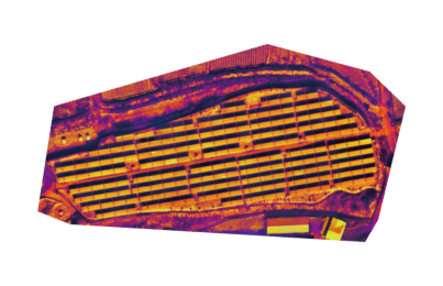 Thermal image analysis
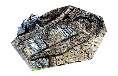 Contour map
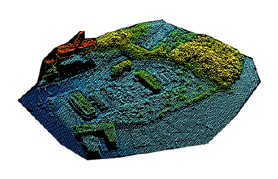 DSM
DSM
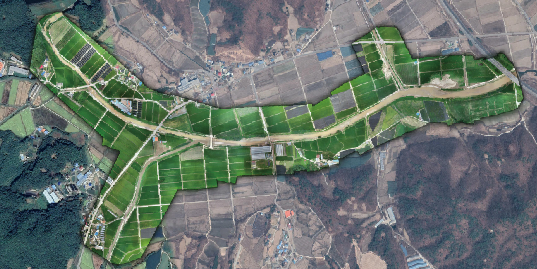
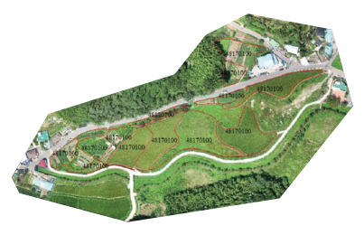 Survey of cultivation areas
-
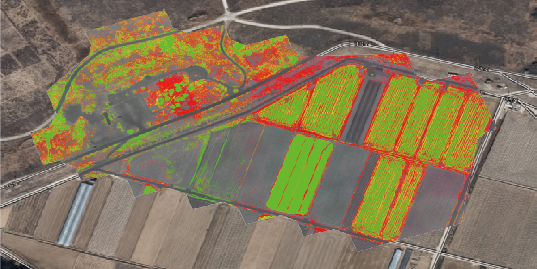 Analysis of growth condition
-
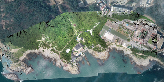 Cultural assets orthomosaic data
-
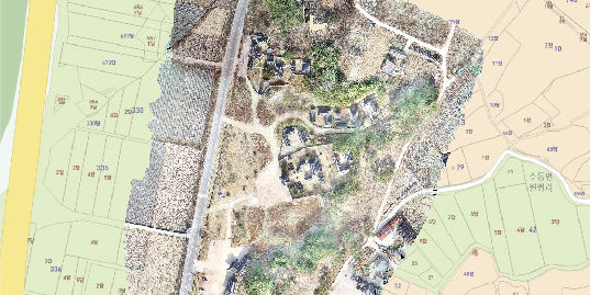 Land registration map
-
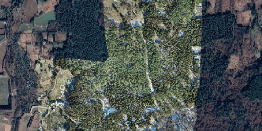 Topographical survey
-
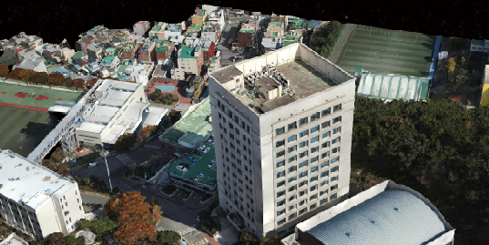 3D modeling
-
 Disaster map
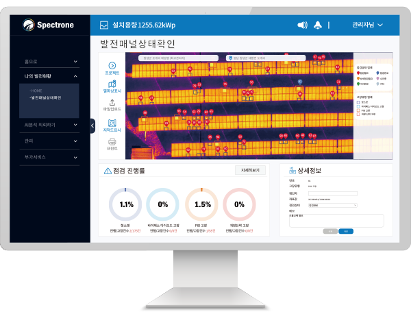
Self-developed software
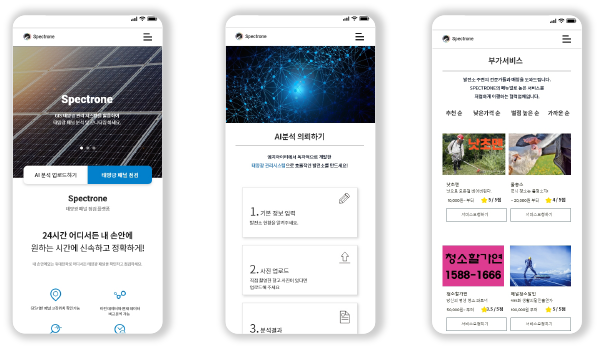
Self-developed software that provides panel analysis and monitoring services using GIS solar management system will be supported. Automatic analysis based on AI deep learning can dramatically save time and money compared to manpower inspection, and power generation can be checked without restrictions through mobile APP.
-
GIS-based panel fault location can be checked.
-
Automatic analysis of failure level of solar panels based on AI deep learning
-
Enables comparative analysis of data by cycle
-
Significant time and cost savings compared to workforce checks
-
Mobile APP allows to check power generation without restrictions on location